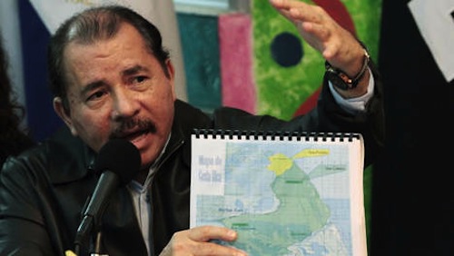
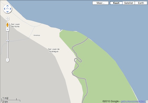
The border between Costa Rica and Nicaragua was shown incorrectly on Google Earth and Google Maps, which was an excuse for a Nicaraguan military commander to order his troops into Costa Rican territory and replace the Costa Rican flag with the Nicaraguan flag.
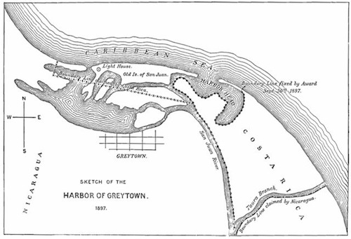
At least this is the story that hit the media. In fact, the exact borderline in this area is under dispute between the two countries ever since 1858, as you can read in this post on Ogle Earth blog.
When I put up the contest, Google Earth showed the wrong borderline, which was corrected a few days later (just before the hint came up). You can see the differences in the ‘hint’ post of this contest. However, Google Maps still shows the wrong border as I write this.
- hhgygy
- Chris Nason
- lardarz
- Javier Abadia
- blacbronco
- Andy McConnell
- Rolando Marín Monge
- David Kozina
- Paul Franson
- zumsen
- Malcolm
- BilliardTraveler
- Max_Power
- José Miguel Díaz
- Andy M, USA
-Hint-
- LawnBoy
- Gillian
- Ben Bayer
- Ivar Bonsaksen
- Sarah G
- Aaron Predeek
- Steve Jaycocks
- Elrober
- Stephen Hope
- Milosh, Serbia
- Willem
- Josh Muehe


Para nosotros en costa rica resulta inverosimil que se tome este tipo de argumento como excusa para invadir un país y destruir la naturaleza. Estamos indignados de la actitud de burla de los gobernantes de nicaragua.
La ignorancia no es excusa para la falta de verguenza del gobierno costaricense. Lo que quieren es convertir la Isla Calero en peninsula Calero.
Rio San Juan es Nica….